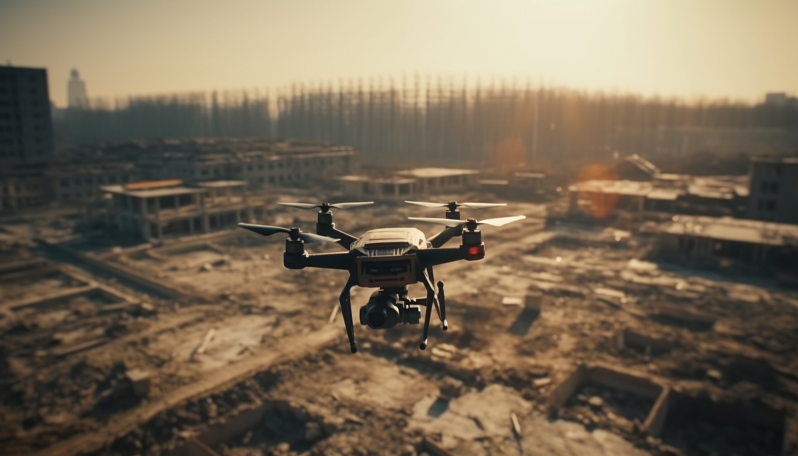
Unmanned Aerial Vehicles (UAVs), or drones, have become a powerful tool in the surveying and mapping industry. What once required ground crews, helicopters, or weeks of manual effort can now be accomplished in hours using drones equipped with high-resolution cameras and LiDAR sensors.
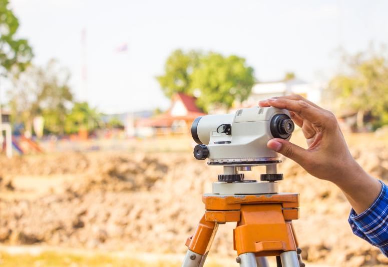
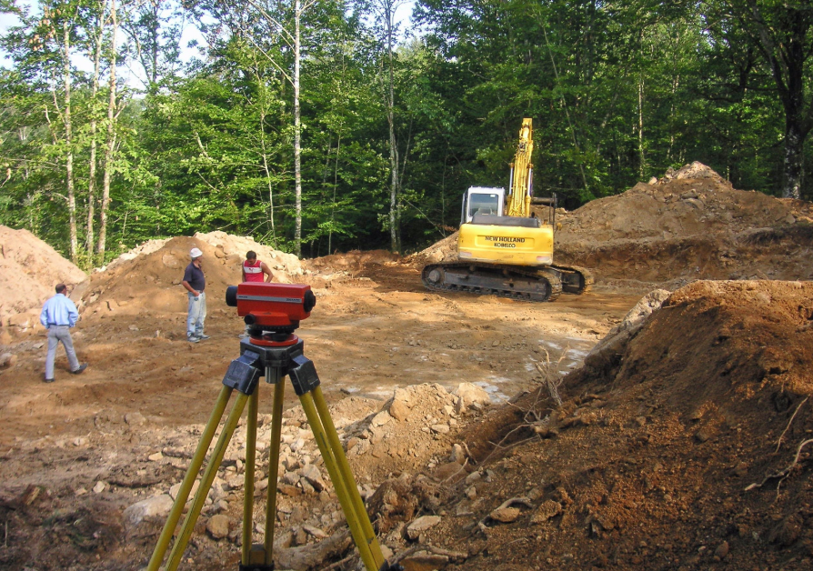
For professionals involved in topographic surveys, especially in construction, civil engineering, or land development, UAVs offer a great advantage. But while the benefits are significant, there are also important limitations to understand.
In this blog, we’ll walk you through the top pros and cons of using UAVs for topographic surveys so you can make the most informed decision for your next project.
The Advantages of UAV-Based Topographic Surveys
Drones are transforming how topographic data is collected, making property surveys faster, safer, and more detailed than ever before.
-
Real-Time Site Records and Aerial Data
One of the most immediate benefits of drone surveys is the ability to capture real-time, high-resolution imagery of the entire worksite. Instead of relying on site visits or static blueprints, project managers can view live site data from their laptop or tablet, even from miles away. This not only improves decision-making but also reduces the number of on-site visits needed.
-
Safety
Surveying challenging terrain, tall structures, or confined spaces can expose workers to hazards. Drones eliminate the need for people to climb scaffolding, navigate steep slopes, or wade into unsafe areas. From inspecting chimneys to documenting bridge decks or pipeline routes, UAVs enhance safety by keeping boots off dangerous ground.
-
Minimal Human Intervention
Traditional land surveys often require a crew physically walking the site and taking multiple manual readings. UAVs simplify this. A licensed operator can plan a flight, launch the drone, and collect all the necessary imagery and data with minimal human presence on-site. This reduces labor costs, eliminates human error, and improves efficiency.
-
High Data Accuracy and Mapping Precision
When used correctly, UAVs can produce highly accurate data, sometimes down to ±10 mm, depending on the sensors and methodology. Two types of accuracy are important here:
- Relative accuracy refers to how precise features are relative to each other in the model (e.g., the distance between two buildings).
- Absolute accuracy refers to how well those features align with their real-world coordinates (e.g., latitude/longitude).
Ground Sampling Distance (GSD), sensor quality, altitude, and weather all affect resolution. With the right setup, you can achieve survey-grade precision comparable to conventional methods, particularly over open or unobstructed terrain.
-
Early Detection of Structural or Design Issues
Drones allow surveyors and engineers to detect issues in the early phases of construction, such as misalignments, elevation mismatches, or grading flaws, before they lead to expensive rework. By flagging these problems early, you save on both time and material costs.
-
Rapid Data Collection Over Large Areas
Drones are incredibly efficient. What might take a ground team several days to cover can often be mapped in just a few hours with a drone. A single UAV operator can cover up to 100 hectares in one day, collecting high-resolution imagery that can later be processed into topographic contours, orthomosaics, and 3D point clouds.
-
3D Models and Visualization
UAVs do more than just take pictures, they enable the creation of 3D terrain models, site maps, and digital elevation models (DEMs). These visualizations offer a far more intuitive and practical understanding of the site, helping stakeholders collaborate better and plan more effectively. They’re particularly useful in design reviews, feasibility studies, and stakeholder presentations.
-
Fast Deployment and Flexibility
Unlike traditional equipment, drones can be deployed quickly, often within minutes. Whether you’re dealing with tight timelines or sudden weather windows, UAVs are flexible enough to fit into nearly any project schedule. This agility is especially valuable during critical phases of construction or land development.
-
Reach Challenging or Remote Terrains
Dense vegetation, steep slopes, water bodies, and hazardous terrain can be nearly impossible to survey on foot. UAVs solve this problem by flying over or around obstacles, capturing data from inaccessible areas without disrupting the environment. For highly forested zones, LiDAR-equipped drones can even penetrate foliage to map the bare ground surface.
-
Lower Cost for Greater Coverage
Topographical surveys using drones are not just faster, they’re also more cost-effective. Fewer crew members are needed, field time is reduced, and the overall deliverables are more comprehensive. When compared to hiring helicopters or sending large crews to the field, drones can deliver better results at a fraction of the cost.
The Drawbacks of UAV Surveys You Need to Know
While UAVs offer powerful advantages, it’s essential to be aware of their operational limits before committing to drone-based surveys.

-
Limited Battery Life
Most drones can only stay in the air for 20–30 minutes per battery. This means for larger projects, operators must rotate through multiple batteries or bring backup drones. While this is manageable with planning, it does impose some logistical challenges.
-
Weather Sensitivity
High winds, heavy rain, and even overcast conditions can limit drone operations. Most UAVs are grounded in wind speeds above 40 km/h and cannot fly during rain. As a result, weather delays can impact timelines for data collection.
-
Licensing and Compliance Requirements
In many countries, including Canada and Australia, UAV pilots must be licensed for commercial use. They must also follow strict airspace regulations, maintain insurance coverage, and register their aircraft. Failing to comply can result in legal issues or fines.
-
Technical Failures and Accidents
Despite all precautions, drones can crash due to software glitches, battery failure, or operator error. These accidents can damage property or cause injury, especially in populated or active construction zones. That’s why it’s important to work with licensed professionals and use high-quality, well-maintained equipment.
-
Data Security and Cyber Threats
Drone-collected data, especially geospatial or site footage, can be a target for cyberattacks. Businesses must take steps to protect survey data from unauthorized access, tampering, or theft. This includes encrypting data storage and transmission, and securing access to cloud storage.
-
Regulatory Restrictions
Drones cannot fly near airports, over highways, or across private property without proper clearance. These restrictions can limit where and how drones are used, especially in urban environments. Surveyors must be familiar with local aviation laws and obtain required permissions ahead of time.
Should You Use UAVs for Topographic Surveys?
UAVs bring a host of advantages to topographic surveying, faster data collection, improved safety, high accuracy, cost-efficiency, and unmatched terrain access. But like any tool, they have their limits. Factors like weather, flight time, legal requirements, and data security must all be considered before deployment.
For most land development, infrastructure, and construction projects, drones are now an essential part of the workflow. Their ability to gather survey-grade data safely and efficiently makes them an ideal solution, especially when combined with traditional surveying methods or LiDAR technology.
If you’re considering UAVs for your next topographic survey, it’s important to work with a team that understands both the technology and the regulations that govern it. From flight planning to data processing and compliance, a well-executed UAV survey can save you time, money, and avoid costly surprises later.
Final Word
UAVs are reshaping the way topographic surveys are done, offering faster insights, safer operations, and impressive accuracy across varied terrain.
While they aren’t without limitations, understanding both the strengths and challenges of drone-based surveying can help you make smarter choices for your next project. When used thoughtfully and professionally, UAVs aren’t just a helpful upgrade, they’re a strategic advantage.