Photogrammetry has been widely used in surveying and mapping for a long time. It’s useful for taking precise measurements or creating point clouds. Compared to LiDAR (Laser Imaging, Detection, and Ranging), photogrammetry is more affordable, portable, and versatile, which has kept it popular with professionals.
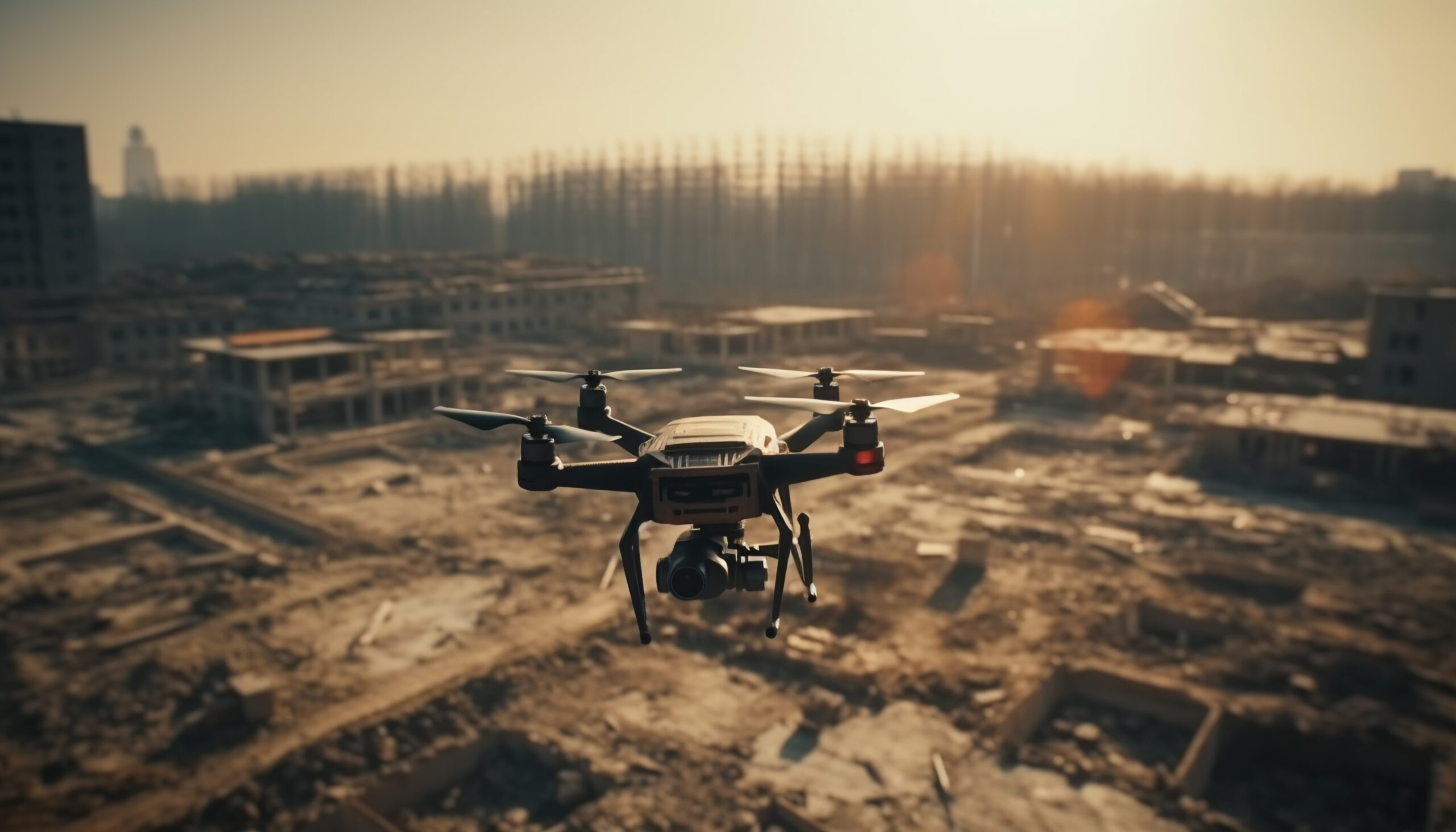
In recent years, interest in photogrammetry has grown even more, thanks to the rise of affordable aerial drones, also called UAVs. These drones make photogrammetry easier to use and have brought new attention to the technology.
Let’s take a closer look at why photogrammetry is so useful, especially for certain types of ground-based surveying and mapping.
The Benefits of UAV Photogrammetry Services in Surveying and Mapping
Photogrammetry is a method used to create 3D models from a series of 2D photos. In surveying, this is done by taking two or more photos of the same point from different angles.
These photos are then processed in photogrammetry software, which calculates the elevation of the point by analyzing the differences between the images. By capturing enough photos, you can produce a detailed 3D mesh model of an entire area.
Another technology often used for creating dense point cloud models is LiDAR, also known as laser scanning. LiDAR works by sending out a laser pulse and measuring how long it takes to bounce back after hitting a surface. Unlike photogrammetry, LiDAR only needs a single direct “line of sight,” making it better for specific tasks, such as mapping areas with a lot of vegetation.
Even with these technical differences, UAV Photogrammetry Services is a great choice for businesses for several reasons:
Affordable
LiDAR equipment is very expensive and needs trained experts to use. Photogrammetry, on the other hand, only requires a DSLR camera and software that works on a regular computer, making it much cheaper.
Easy to access
LiDAR equipment can be hard to find quickly because it needs special tools and skilled operators. Photogrammetry gear is small enough to fit in a surveyor’s truck and can be used without outside help.
Flexible
Photogrammetry has become a powerful, all-purpose imaging tool. LiDAR, however, is more limited because of issues like bulky equipment and challenges in capturing high-resolution images.
These benefits make photogrammetry a popular choice for many types of ground-based surveying. While ground-based LiDAR is useful for certain tasks, photogrammetry’s accessibility and versatility often make it the first choice in most cases.
How UAV Photogrammetry Services Are Changing the Future of Surveying?

Real-Time Site Updates from Anywhere
Drones allow project managers and builders to get real-time footage of the site and track the progress of the project. They help monitor worksite productivity and keep stakeholders informed.
Drones capture live footage through UAV surveys and can stream it directly to a laptop or tablet. This lets you view the site in real time from your office or phone, reducing the need for frequent onsite visits and inspections.
Lower the Risk of Accidents with UAV Surveys
Drones help reduce the risk of worksite accidents and injuries. By using an aerial camera to assess or inspect conditions during a UAV survey, you can minimize the need for human involvement unless absolutely necessary. Instead of having limited or no access to conditions at heights, over large areas, or above water, the drone operator can control the flight path, covering all the areas you need to capture.
Drones can easily reach hard-to-access areas of the site during a UAV survey, such as high towers, ceiling steelwork, underground pipelines, and chimneys. Many types of inspections have become safer, faster, and more convenient thanks to aerial surveys using drones.
Fewer Hands-On Tasks with Drones
Drones require very little human involvement compared to other surveying methods. The drone pilot controls the drone from the ground, and the footage is either recorded or streamed live to a video feed.
This means there is less need to walk around the site and take hundreds of measurements, which is common with traditional surveying methods.
This type of aerial surveying reduces the risk of accidents while still providing highly accurate data.
Accurate Data with Drones
By using the correct approach, equipment, and independent checks, drones can provide accuracy within 10-20mm. The accuracy you need will depend on the specific requirements of your project, but the final accuracy achieved depends on the equipment used and the surveying methods followed by the surveyor or drone operator.
Catch Errors Early in Construction
Drone surveying is involved in every phase of the construction process. It helps engineers find any mistakes or structural problems in the design and construction.
With drones, it’s easier to spot these issues early and fix them before the project is finished. This saves a lot of time and resources because problems are addressed sooner and at a lower cost compared to fixing them after the project is completed.
Get Faster Site Inspections
Drones can inspect hundreds of acres in just one day. Our process typically includes aerial mapping of up to 100 hectares in a single day. Using drones allows us to cover large areas of land and achieve survey-grade results by combining photogrammetry and surveying techniques.
In contrast, manual inspections are time-consuming and can take several days to finish. Additionally, they come with safety risks and often require permits for walking or climbing structures.
Get Better Site Views with 3D Mapping
One of the biggest benefits of using UAVs for surveying is the ability to create both 2D maps and 3D models. Our world is 3D, but many projects are still designed and built using old 2D methods.
Using 2D maps and 3D models gives you a clearer understanding of the site and surrounding environment, better visibility of project progress, improved site operations, and easier collaboration among teams and communication with stakeholders. UAVs provide more detailed data throughout the construction project.
Deploy Drones Quickly and Safely
Drones are much quicker to set up than manual inspection methods like rope access or elevated work platforms. They can also move easily to different positions, giving a better view of the site, asset, or building. This allows for a clearer understanding of the current conditions.
Conclusion
UAV photogrammetry is changing the way we map and survey by making the process faster, more accurate, and more cost-effective. It’s a great solution for projects like construction, environmental monitoring, disaster recovery, and urban planning.
By using advanced drones and smart software, these services provide reliable data that helps you make better decisions and complete projects successfully.
If you’re ready to use UAV Photogrammetry Services for your project, we’re here to help. 360 Surveys’ team combines the best equipment with years of experience to deliver accurate results quickly. Contact us today to see how our services can make a difference for you!