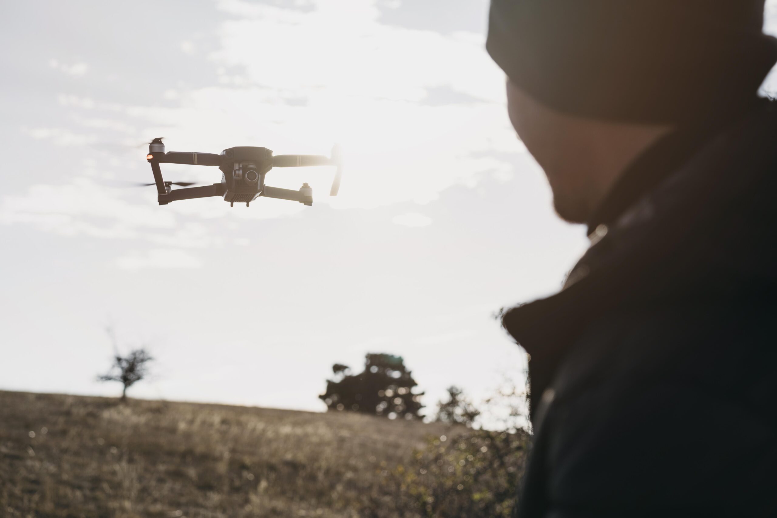
UAV photogrammetry is a way to use drones to take detailed pictures from above, and it’s making construction site surveys much easier. Surveys are super important for planning and managing construction projects, but the old methods take a lot of time and hard work.
Drones make it faster, safer, and way more accurate. They can quickly create detailed 3D maps and models of the site.
Plus, they’re incredibly precise, studies show they can measure heights with an accuracy of just 1.9 cm when ground control points are used. That’s why so many construction projects are turning to drones to get the job done.

Understanding UAV Photogrammetry
UAV photogrammetry services is a surveying technique that uses drones to capture detailed aerial images and convert them into highly accurate maps and models. Here’s how it works and what it produces:
The Process
- The drone flies over the site, capturing a series of high-resolution images from multiple angles.
- Specialized software processes these images, stitching them together and analyzing them for measurements and details.
Key Outputs
- Orthomosaic Maps: High-resolution stitched images of the entire site.
- 3D Models: Detailed representations for visualizing terrain and structures.
- Digital Elevation Models (DEMs): Maps showing terrain height and elevation.
- Contour Maps: Lines showing elevation changes, essential for grading and planning.
Applications of Photogrammetry in Construction
Site Surveys and Mapping
UAV photogrammetry services is one of the most effective tools for site surveying and mapping in construction. Traditional methods can be slow and labor-intensive, but drones equipped with high-resolution cameras make the process much faster and easier.
These drones or UAVs capture detailed images over large areas, which are then processed into accurate topographical maps and 3D models.
They are more than just visual aids, they allow project teams to take precise measurements, analyze terrain, and plan effectively.
For example, at a quarry site, a drone was used to create a volumetric analysis, quickly calculating the amount of material to be excavated or transported. What would have taken days manually was completed in hours with photogrammetry.
By making data collection faster, safer, and more accurate, photogrammetry has become an indispensable tool in construction for everything from mapping to progress monitoring.
UAV Photogrammetry Services & Progress Monitoring
Photogrammetry is a powerful tool for monitoring the progress of construction projects. Regular drone surveys capture updated images of the site, which can be compared to previous data to track changes and ensure the project stays on schedule.

The data is processed using BIM software to create detailed 3D meshes, which can then be cross-referenced with design models from architects and consultants.
This is particularly useful for identifying issues early. For example, imagine a construction team working on a multi-story building. If a structural column is installed even slightly out of alignment, it could affect the stability of the floors above.
Using photogrammetry, the team can overlay the drone-generated 3D mesh onto the original design model and immediately spot the discrepancy. By catching the issue early, they can make corrections before it impacts the project timeline or adds significant costs.
AI-enabled Quality Control and Inspection
Ensuring the quality and safety of structures is a top priority in construction. Photogrammetry provides a non-invasive and highly effective way to inspect and assess work quality. High-resolution drone images can uncover defects, deviations, or inconsistencies that might otherwise go unnoticed.
For instance, in a concrete slab inspection, photogrammetry can identify hairline cracks that aren’t visible to the naked eye. By processing the data with AI models, tasks like crack detection, feature extraction, and material analysis become faster and more accurate.
This allows teams to address issues early, preventing minor defects from escalating into costly repairs or structural failures. Photogrammetry ensures that quality standards are met while keeping inspections efficient and thorough.
As-Built Documentation
The push for energy-efficient buildings has led to a rise in addition and alteration (A&A) works in Singapore. For contractors, documenting existing site conditions is a critical step in assessing the impact of new construction. Photogrammetry simplifies this process by capturing detailed and accurate records of existing structures.
For example, a contractor renovating a commercial building can use photogrammetry to quickly create a digital model of the site. This model allows them to simulate and analyze the potential impact of proposed changes, ensuring they don’t interfere with existing systems.
Additionally, the data can be used to generate BIM models, enabling workflows like clash detection to identify conflicts between old and new elements, site coordination for smoother execution, and BIM for facilities management (FM) to optimize ongoing building operations.
Improved Accuracy
With the use of ground control points (GCPs), UAV photogrammetry achieves survey-grade accuracy. This precision allows drones to capture highly detailed topographic and elevation data, which is critical for construction site planning.
The improved accuracy also extends to measurements such as distances, volumes, and areas, ensuring reliable data for design and implementation.
Cost-Effectiveness
Drones reduce the need for extensive manpower and expensive surveying equipment, lowering overall project costs. Compared to traditional methods, UAV photogrammetry services requires fewer resources while delivering high-quality results.
This cost-efficiency is particularly evident in large-scale projects, where the return on investment becomes even more significant.
Comparing UAV Photogrammetry Services to Traditional Surveying
UAV photogrammetry has emerged as a highly efficient alternative to traditional surveying methods, such as using total stations and GPS. Here’s a detailed comparison based on speed, cost, and accuracy:
Speed
UAV photogrammetry significantly outpaces traditional methods in terms of speed. A UAV can survey large areas within hours, while a total station or GPS survey might take days for the same coverage.
Cost
While UAV photogrammetry requires an initial investment in drones, software, and training, it often proves more cost-effective over time. Traditional surveying methods incur recurring costs, such as wages for large field teams and maintenance of bulky equipment. UAVs, on the other hand, reduce manpower requirements and operational expenses.
Accuracy
The accuracy of UAV photogrammetry depends on the integration of ground control points (GCPs). With proper GCPs, UAVs can achieve survey-grade accuracy comparable to total stations, often within a few centimeters of error. UAVs excel in capturing high-detail data, especially in complex terrain or inaccessible areas where traditional equipment might struggle.
Real-World Applications in Construction Site Surveying
UAV photogrammetry is changing how construction sites are surveyed, offering fast and accurate data that’s easy to work with. Here are a few ways it’s being used in real projects:
Road and Highway Construction
Drones are great for road and highway projects because they can map large areas quickly and accurately. Instead of spending days walking the site with traditional tools, drones can fly over the area and create detailed maps and elevation models in just a few hours.
These maps help engineers spot issues like uneven ground or drainage problems early on. During construction, drones are used to monitor progress, making sure the work matches the original design and catching any mistakes before they become big problems.
Bridge Inspections and Planning
For building or maintaining bridges, UAV photogrammetry is a safer and more efficient way to get the job done. Drones can capture high-resolution images and create 3D models of the site or the bridge itself without putting workers in risky positions.
For example, when planning a new bridge, drones can map the terrain and help engineers figure out the best design. For maintenance, they can spot cracks or corrosion that are hard to see from the ground, helping teams address problems before they get worse.
Urban Development Projects
When it comes to big urban development projects, drones make things a lot easier. They can map entire neighborhoods, creating detailed 3D models that show existing buildings, roads, and utilities.
These models help planners design layouts that fit well with what’s already there. During construction, regular drone flights keep everyone updated on progress, helping teams stay on schedule and avoid costly mistakes.
Conclusion
UAV photogrammetry simplifies construction site surveying by providing fast, accurate, and efficient data collection. Drones capture detailed images and produce precise maps, 3D models, and elevation data in significantly less time than traditional methods.
This makes them ideal for tasks like monitoring progress, detecting issues early, and calculating volumes or measurements with high accuracy.
If you want to make your construction projects easier and more efficient, 360 Surveying offers reliable UAV photogrammetry services and has the tools to help you get the job done right. Get started today and see the difference!