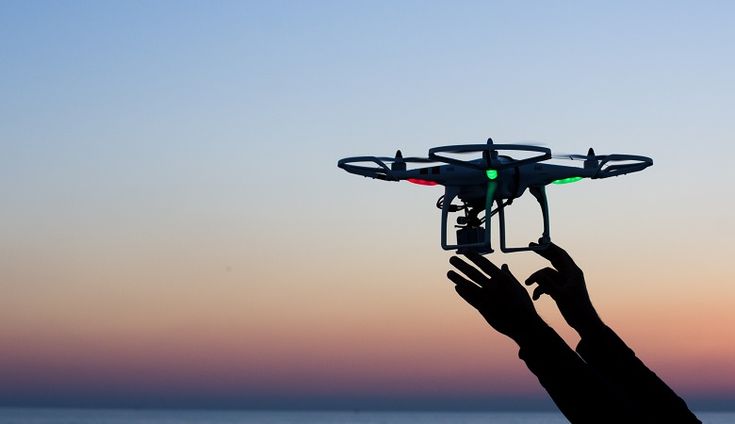
What if inspecting a massive construction site or checking for damage after a disaster took hours or even days? Traditional methods are slow, expensive, and sometimes even dangerous for workers.
But with UAV photogrammetry services, everything changes. These drones, equipped with high-tech cameras, can complete inspections up to 50% faster, cutting labor costs and making the process much safer.
They can also reach tricky spots that people can’t, capturing super-clear images that improve accuracy by more than 30%. This amazing technology makes site inspections quicker, safer, and more precise than ever before.
What is UAV Photogrammetry?
Photogrammetry is a way of measuring and getting detailed information about objects using photos. When combined with drones, it helps quickly capture high-quality aerial images. Drones with special cameras take pictures of land or buildings from different angles.
These overlapping images are then processed with special software to create detailed 2D maps and 3D models, giving a clear view of the area. This process is ideal for topographic surveys, where elevation changes, slope data, and surface features are critical for planning construction, grading, or drainage systems.
Advantages of UAV Photogrammetry Services in Site Inspections
#1 Keeps the Workers Safe
Inspecting construction sites, factories, or industrial plants can be risky. In the past, workers had to climb tall structures, squeeze into tight spaces, or even enter areas with dangerous chemicals just to check for damage or maintenance issues. This puts them at serious risk of falls, toxic exposure, or accidents.
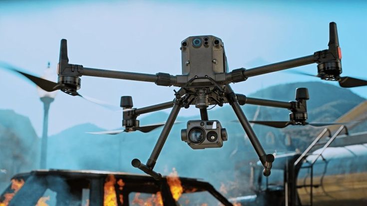
Now, drones make things much safer. Instead of sending a person up a shaky scaffold or inside a massive storage tank, a drone can do the job. For example, in oil refineries, drones can inspect large tanks, pipelines, and chimneys without requiring workers to climb high or wear heavy protective gear. Similarly, in the construction industry, drones can scan unfinished high-rise buildings, checking for structural issues without putting engineers in danger.
#2 UAV Photogrammetry Services Save Time and Cost Efficiency
Everything is much faster and cheaper with UAV photogrammetry services. A single drone can scan massive areas, over 600 acres in just one day. To put that into perspective, inspecting the same area on foot could take weeks. Plus, drones don’t need a big team to operate, which cuts down labor costs.
For example, in large construction projects, drones can quickly map the site, track progress, and identify issues without stopping work. In agriculture, farmers use drones to check vast farmlands for crop health in just a few hours instead of spending days walking the fields. The faster data collection means quicker decision-making, fewer delays, and huge cost savings.
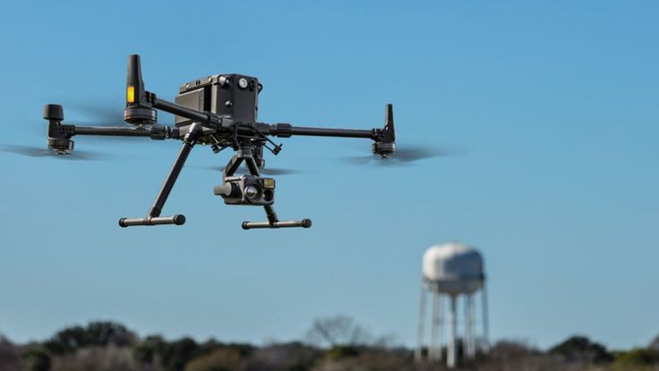
#3 High-Quality Data Collection
Drones don’t just save time and money, they also capture incredibly detailed information. With high-resolution cameras and advanced sensors, they take sharp images and videos that help experts analyze sites with precision. Instead of relying on rough sketches or low-quality satellite images, companies can now get crystal-clear visuals of buildings, bridges, and landscapes.
The data collected isn’t just for pictures, it’s used to create highly accurate 3D models and orthophotos (detailed, to-scale aerial images). These models help engineers spot cracks in a bridge, construction teams plan projects more efficiently, and inspectors ensure everything meets safety standards.
Take the example of the mining industry, drones can map out pits and tunnels in detail, helping geologists track land movements and prevent collapses. In real estate, developers use drone-generated 3D models to show investors exactly how a site will look before construction even starts. This level of detail makes planning, maintenance, and safety checks far more effective than traditional methods.
#4 Accessibility to Challenging Areas
Some places are just too difficult, or too dangerous, for people to inspect easily. Climbing tall wind turbines, walking on unstable rooftops, or navigating rough terrains can be risky and time-consuming. This is where drones make a huge difference.
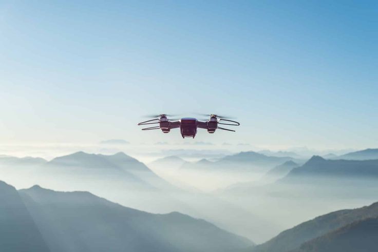
Drones are small, agile, and can reach spots that humans can’t. They can fly up to inspect the blades of a wind turbine without the need for workers to climb or use expensive scaffolding. They can scan rooftops for damage without anyone having to step foot on them. In rugged areas like mountains or cliffs, drones can survey the land without putting surveyors at risk.
A great real-life example is in disaster response. After earthquakes or hurricanes, buildings may be too unstable for inspectors to enter. Instead of risking lives, drones can fly in, capture detailed footage, and provide crucial data to emergency teams. This not only makes inspections safer but also speeds up recovery efforts.
#5 Environmental and Regulatory Compliance
Drones with photogrammetry technology play a big role in helping businesses follow environmental rules and regulations. By capturing high-resolution images and detailed 3D models, they provide accurate, up-to-date data that makes monitoring sites much easier.
In the mining industry, companies must regularly check for land degradation and pollution. Instead of sending teams on foot, drones can scan large areas quickly, detecting erosion or harmful environmental changes without disturbing the land. Similarly, in energy projects like wind farms or solar fields, drones help track land use and ensure compliance with regulations without disrupting the surrounding ecosystem.
Regulatory bodies often require frequent inspections, and failing to meet compliance standards can lead to heavy fines or even project shutdowns. UAVs make it much simpler and faster to gather the necessary data, create reports, and prove that businesses are following environmental and safety guidelines.
Technological Integration
Drones alone are powerful tools, but their real strength comes from the advanced software that processes their images. Programs like Pix4D take the photos captured by drones and turn them into highly detailed 3D maps and models. This means businesses don’t just get a bunch of pictures, they get accurate, data-rich visuals they can actually use.
These software platforms use smart algorithms to stitch together multiple images, correct distortions, and ensure everything is perfectly aligned. The result? Georeferenced maps allow engineers, surveyors, and inspectors to take precise measurements without ever setting foot on-site.
If we talk about the construction sector, these 3D models help teams track progress and spot issues before they become costly problems. In environmental monitoring, drones combined with AI-powered mapping software can detect deforestation, track erosion, and even measure glacier movements, all with pinpoint accuracy.
Challenges and Considerations
While UAV photogrammetry has many advantages, it also comes with challenges that need to be carefully managed.
Regulatory Compliance
Flying drones isn’t as simple as just launching them into the sky, there are strict rules in place. Most countries have aviation laws that regulate where, how high, and when drones can fly. For example, flying near airports, military zones, or crowded public areas is often restricted.
Drone operators also need proper certifications to fly legally, especially for commercial use. In the U.S., the FAA requires pilots to have a Part 107 license for commercial drone operations. Ignoring these rules can lead to hefty fines or even legal troubles.
A real-world example is in urban construction projects. Companies using drones for site inspections need to ensure they have permission to fly over certain areas. If they don’t follow the rules, their projects could face delays, or they might even lose the ability to use drones at all. That’s why staying compliant is just as important as capturing high-quality data.
Data Management
Drones capture a massive amount of data, and managing it properly is a big challenge. High-resolution images, 3D models, and video footage take up a lot of storage space, and without a proper system, things can quickly become overwhelming.
Companies need reliable data storage solutions, whether it’s cloud-based platforms or dedicated servers, to keep everything organized and accessible. But storing the data isn’t enough, it also needs to be processed and analyzed correctly. This means using powerful software and ensuring employees are trained to interpret the information accurately.
In large-scale agriculture, drones collect thousands of images to monitor crop health. If the data isn’t stored and processed properly, farmers might miss critical details, leading to wasted resources and lower yields.
The same goes for construction, without proper data management, valuable insights about site progress or potential issues could get lost in the flood of information.
Weather Dependency
Drones are powerful tools, but they don’t perform well in bad weather. High winds can make them unstable, rain can damage their electronics, and fog can reduce visibility, leading to poor-quality images. If the weather isn’t right, flights might need to be postponed, which can delay inspections and projects.
For example, in coastal construction projects, strong winds are common, making it difficult to get clear aerial images. Similarly, in agriculture, drones used for crop monitoring may struggle to capture accurate data on cloudy or rainy days.
That’s why careful planning is crucial, checking weather forecasts and scheduling flights during calm, clear conditions helps ensure high-quality results and safe operations.
Final Takeaway
Drones with photogrammetry tech are changing how industries handle site inspections. They make the job faster, safer, and more accurate, replacing the slow and risky old methods. As technology keeps improving, UAV photogrammetry will make inspections even more efficient and affordable.
They are setting a new standard for collecting data and analyzing sites. Companies that adopt this tech will stay ahead of the game, making smarter decisions and running operations more smoothly. The future of inspections is here, and it’s flying high!
And if you’re looking for precise and efficient site surveys, 360 Land Surveying has you covered!